Siberia Wildfire Mapping
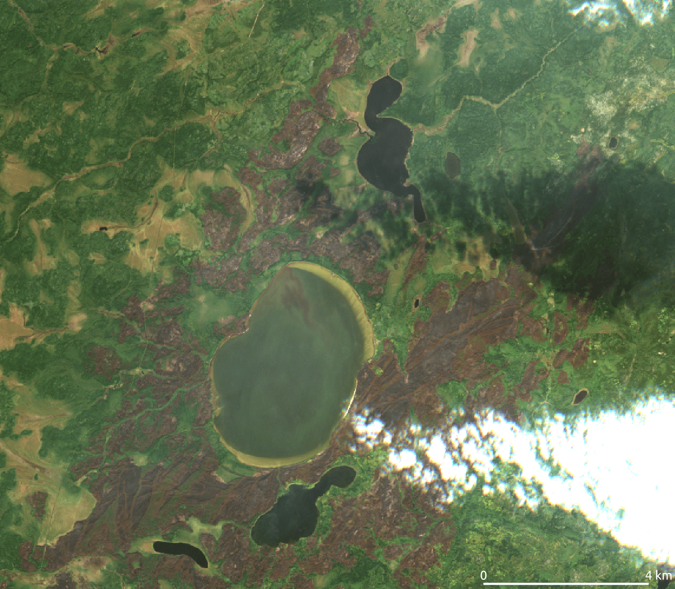
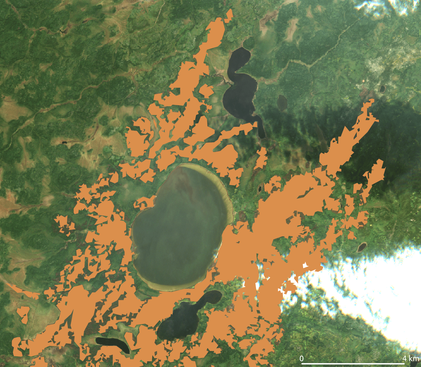
In this study we focused on a vast area in Siberia and meticulously mapped the burn patterns in the Sakha Republic. This involved an in-depth study of a 100-million-hectare area, utilizing advanced AI techniques and processing over 4,500 multispectral images from ESA's Sentinel-2 satellites. Our approach successfully mapped the extent of the burn areas, revealing that approximately 6.7 million hectares, or about 7% of the study area, were affected. This project highlights our expertise in providing in-depth geospatial insights and underscores our commitment to addressing global environmental challenges.
CLIENT
Under confidentiality
ROLE
Data Evaluation
YEAR
2021