Unlock Success with Data Intelligence
EDEO - Your Premier Partner in
Remote Sensing and Spatial Analysis
At EDEO, we transform the power of remote sensing and location intelligence into tailored solutions just for you.
Harness the latest advancements in environmental monitoring, consulting, and risk assessment with us.
Our blend of cutting-edge machine learning and deep expertise ensures your solutions are precise, efficient, and scalable.
Ready to unlock new insights? Let's chat about how we can meet your unique needs.
Remote Sensing
From the pioneering days of Landsat to the advanced satellites of the European Copernicus program, we've witnessed an explosion in the quality and quantity of data available from above. Now, accessing this vast trove of satellite data is quicker and more straightforward than ever.
At EDEO, we leverage this data revolution to your advantage, transforming raw datasets into actionable insights. Partner with us to optimize your monitoring systems, reduce costs, and harness the true potential of modern remote sensing.

Environmental Consulting
Modern leaders grapple with pressing environmental challenges: navigating climate change impacts, leveraging regulations for benefit, and finding opportunities for responsible growth.
Harness the power of Remote Sensing and GIS with EDEO. We provide advanced monitoring and analysis tools, streamlining decision-making with efficient, cost-effective data collection and evaluation. Make informed choices and turn environmental challenges into strategic advantages.
Who we are
Our team combines experiences of computer and environmental sciences. Together we build the future of earth observation.
We are driven by the desire of a green and sustainable development of a livable tomorrow on our planet earth.
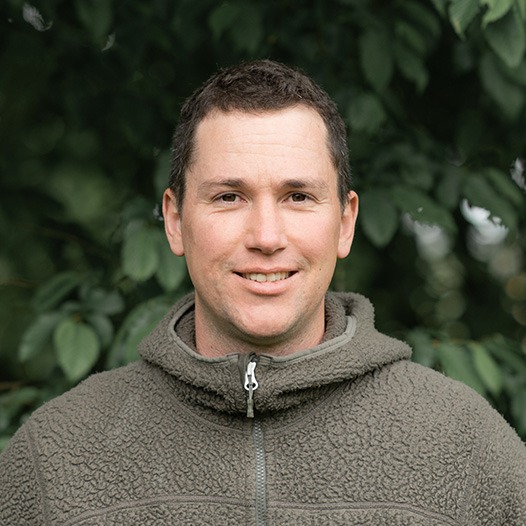
Simon Baier, MSc
Founder & Managing Director
Simon realizes the ideas and develops strategies at EDEO. He has years of work experience as a forester and EO scientist.
MSc Forest Science, TUM
MSc Geogr. Inf. Science, University of Salzburg
BSc Forest Science and Resource Manag., TUM

Lukas Schreiber, MSc
Geodata Engineer
Lukas is our AI specialist. He handles the technical implementation and teaches deep learning to powerful computers.
MSc Forest Science, UBC IRSS
BSc Aerospace Eng., Delft University of Technology

Martin Abstreiter
Pilot & Hardware
Martin is our certified drone pilot and hardware technician. He really has some MacGuyver skills.
State-certified technical engineer
Toolmaker journeyman

Jennifer Kilian, MSc
Agribusiness and Marketing Expert
Jennifer combines marketing skills with a strong background in agricultural engineering, enhancing our team's expertise in sustainable agri-solutions.
M.Sc. Agricultural Management, TUM
B.Eng. , HSWT

Dr. Alata Elatawneh
External Consultant
With years of expertise under his belt, Alata operates as our external consultant for the Middle East, specializing in remote sensing and location intelligence projects.
PhD in Remote Sensing Applications, TUM
MSc Remote Sensing, CIHEAM Chania
BSc Geomatics, Palestine Politechnic University
Our Services and Solutions
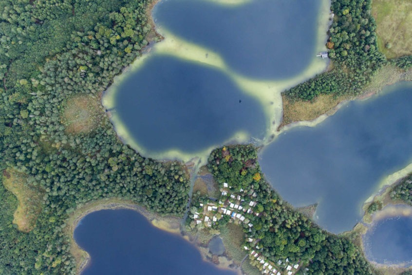
Satellite Remote Sensing
- Continental-scale mapping
- Multispectral and SAR remote sensing
- Disasters, especially wildfires ➔ EDEO BlazeMap™
- Land use and landcover change analysis
Airborne Remote Sensing
- Large-scale aerial surveys
- Disaster and calamity mapping
- Photogrammetry, LiDAR, multispectral
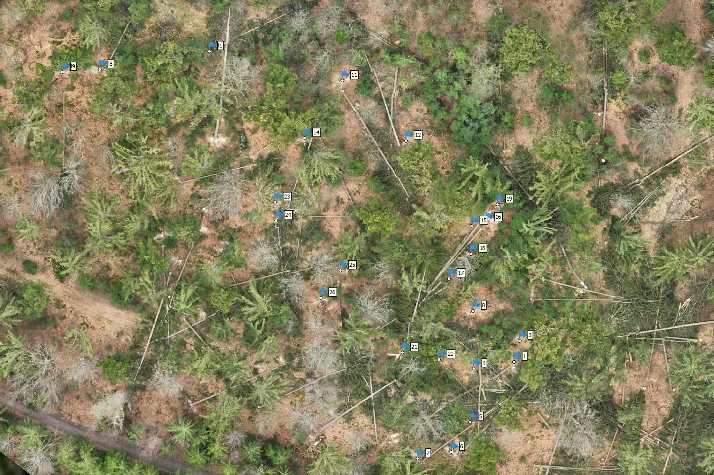
Drone Remote Sensing
- Small-scale mapping
- High resolution inventory data
- Photogrammetry, LiDAR, multispectral
- Our Drone Services
Geospatial Processing
- Data integration
- Spatial analysis
- Real-time geospatial analytics
Mapping Services
- Custom cartography
- Interactive web maps
- Land use and land cover mapping
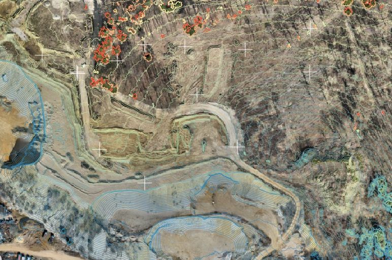
- Infrastructure Mapping and Monitoring
- Construction Site Mapping and Monitoring
- Urban planning maps
- Environmental impact mapping
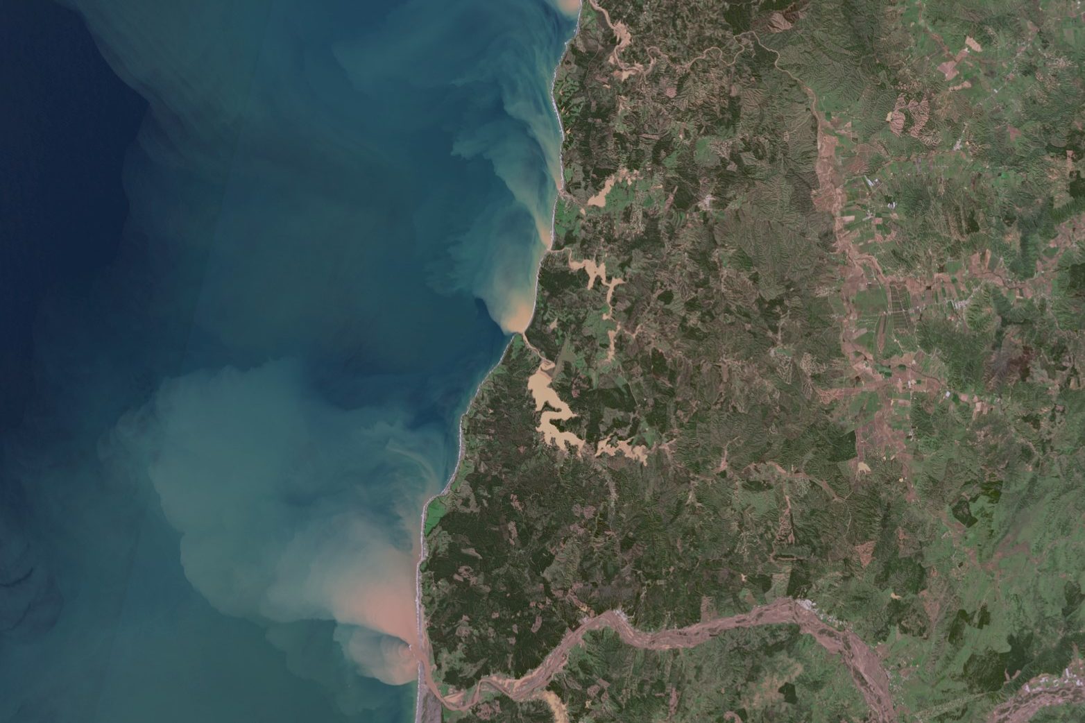
Disaster Response and Management
- Rapid damage assessment
- Wildfire monitoring and analysis
- Storm damage assessment for forestry
- Flood mapping and analysis
Deforestation and Illegal Logging Monitoring
- Satellite imagery analysis
- Change detection and trend analysis
- Reforestation and restoration monitoring
EDEO GmbH
Reinwaldstraße 14
93426 Roding
Germany
info[at]edeo-gmbh.de