

Enhancing Forestry Research with High-Precision Drone Imaging
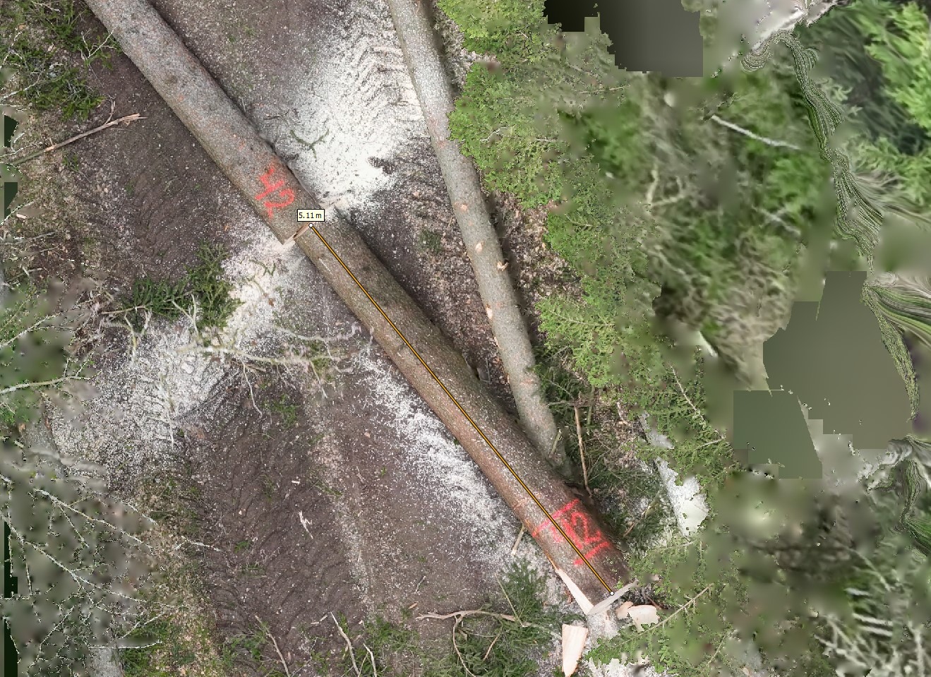
In this cutting-edge project, we collected reference data for a smart-chainsaw research and development initiative using drone technology. This involved capturing over 16,000 photos across three research sites, resulting in highly detailed photogrammetric models, including measurable orthomosaics, 3D models, and point clouds. Our results boast exceptional resolution, all accurately referenced with RTK-GNSS data, showcasing our commitment to delivering the highest standard of precision and state-of-the-art accuracy in modern UAV remote sensing.
CLIENT
iFOS GmbH
ROLE
UAV Data Acquisition, Photogrammetric Processing, Data Processing
YEAR
2019
