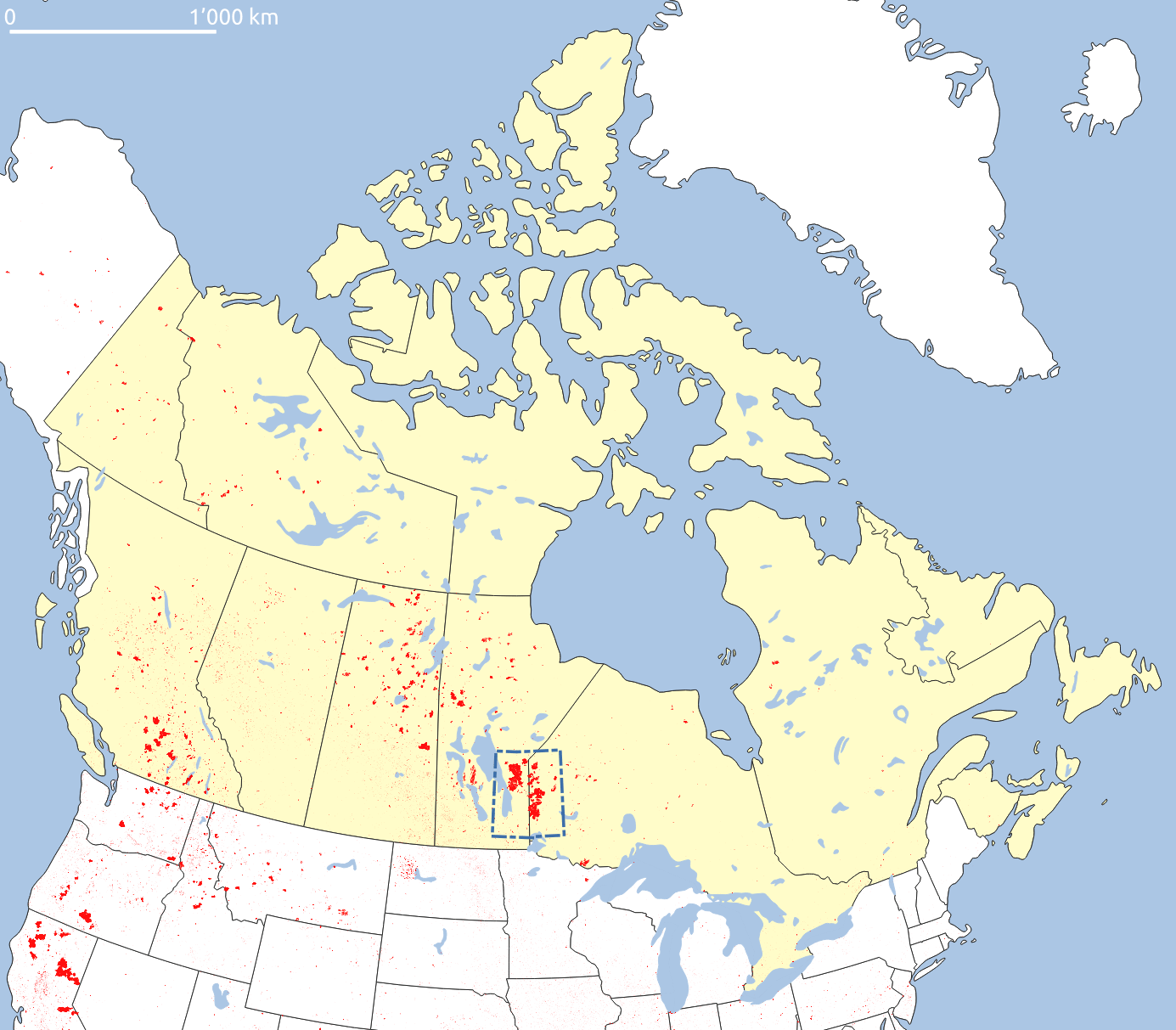
Canada Wildfire Mapping
In our portfolio, we feature an impactful project where we mapped the wildfire-burned areas east of Lake Winnipeg in Canada. This extensive study covered over one million hectares and highlighted the plight of local First Nations communities affected by the fires. Utilizing our advanced BlazeMap™ technology, we analyzed over a thousand satellite images to produce an interactive map. This map provides detailed insights into each fire event, including areas affected and evacuation data. Our AI system ensured high accuracy and precision, offering valuable information for various applications like infrastructure damage assessment and CO2 emission estimation. Read more about it in the article in out news section.
CLIENT
Under confidentiality
ROLE
Data Evaluation
YEAR
2021
