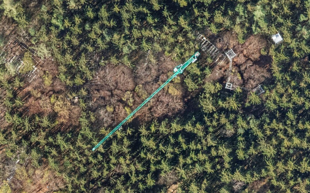
Multi-Seasonal Aerial Photogrammetric Mapping of Tree Species Composition For the Technical University of Munich, we conducted a detailed study in a Bavarian forest near Freising, using six ultralight flights equipped with our self-enigneered multi-camera ...
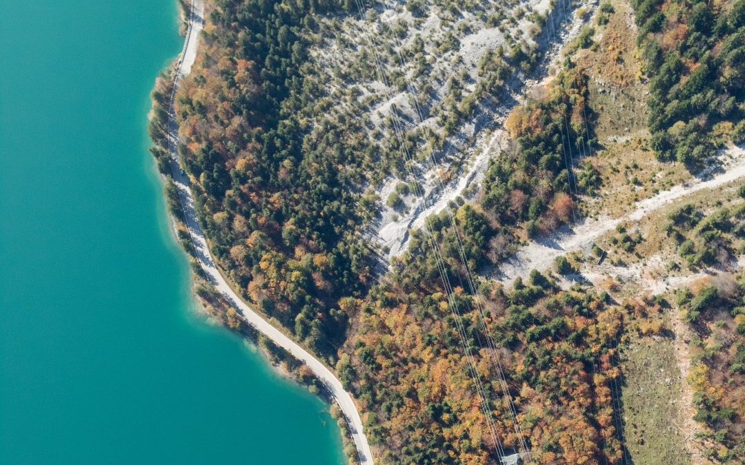
Aerial Photogrammetric Mapping of Osterseen Lakes In a collaborative project with the Technical University of Munich's Limnological Research Station, we conducted a multi-seasonal ultralight remote sensing mission over the Osterseen lakes in Upper Bavaria. Utilizing...
We use cookies to ensure that we give you the best experience on our website. If you continue to use this site we will assume that you are happy with it.