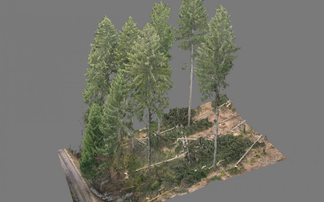
Enhancing Forestry Research with High-Precision Drone Imaging
Enhancing Forestry Research with High-Precision Drone Imaging In this cutting-edge project, we collected reference data for a smart-chainsaw research and development initiative using drone technology. This involved capturing over 16,000 photos across three research...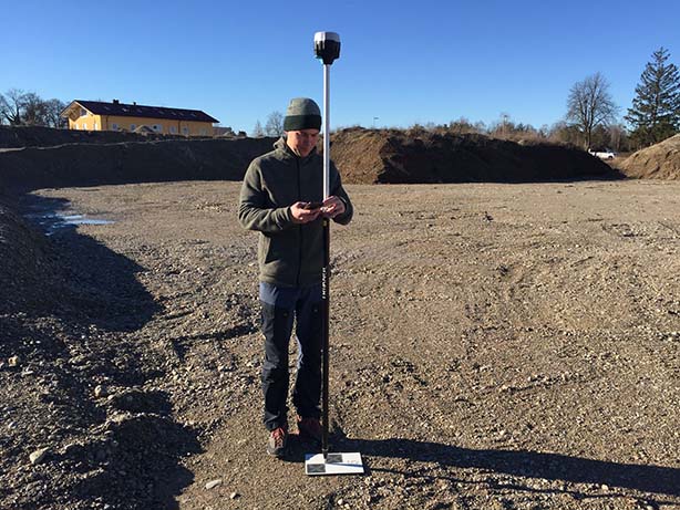
Sewer Network Mapping
Sewer Network Mapping We utilized modern methods for sewage channel infrastructure mapping, which is a rapidly evolving field in urban planning. Our task was to inspect, document, evaluate, and report on a several hundred meter section of wastewater channels using a...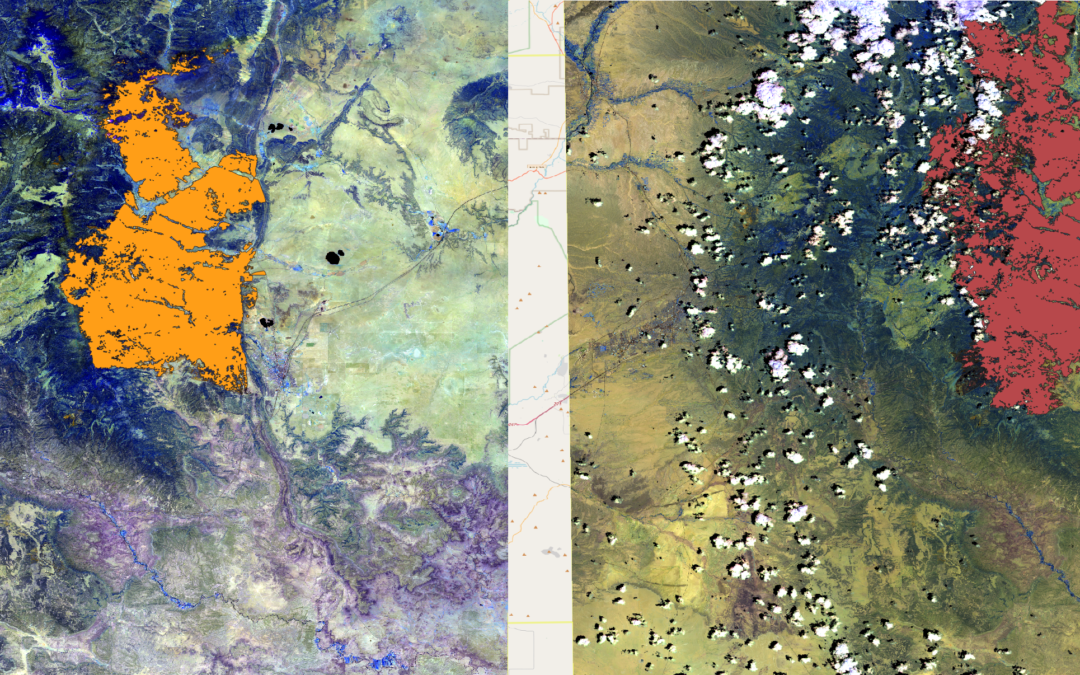
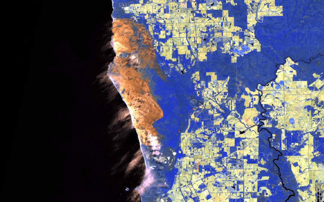
BlazeMap™: 2022 New Mexico Wildfires
BlazeMap™: 2022 New Mexico Wildfires Our portfolio features a project focusing on the prescribed burns in New Mexico, USA, which later escalated into major wildfires. We used our BlazeMap™ technology to map and analyze these fires, assessing their extent from March to...