High-Accuracy Wildfire Mapping in Canada
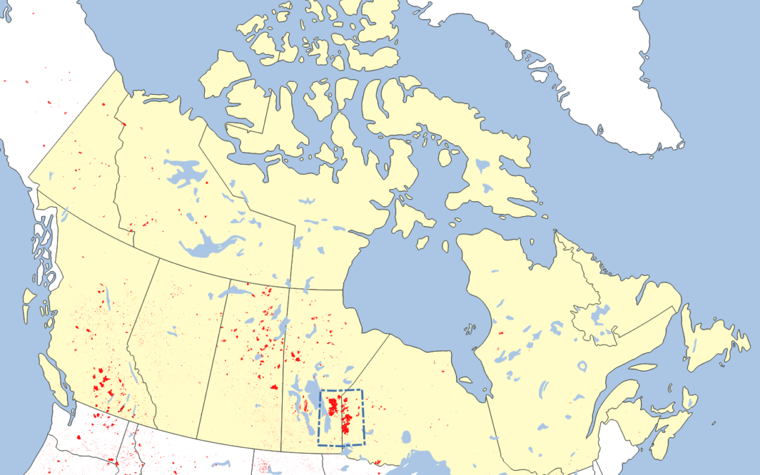
Canada Wildfire Mapping In our portfolio, we feature an impactful project where we mapped the wildfire-burned areas east of Lake Winnipeg in Canada. This extensive study covered over one million hectares and highlighted the plight of local First Nations communities...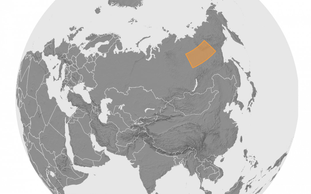
Siberia Wildfire Mapping (High-Res Large-Scale Mapping)
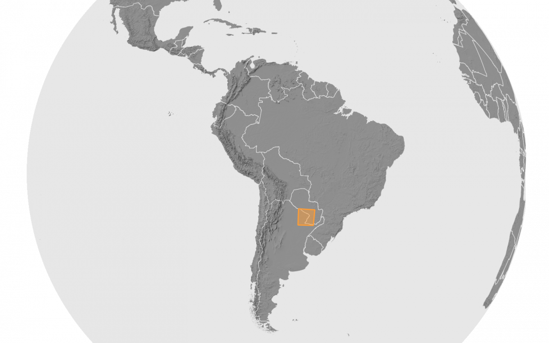
Siberia Wildfire Mapping In this study we focused on a vast area in Siberia and meticulously mapped the burn patterns in the Sakha Republic. This involved an in-depth study of a 100-million-hectare area, utilizing advanced AI techniques and processing over 4,500...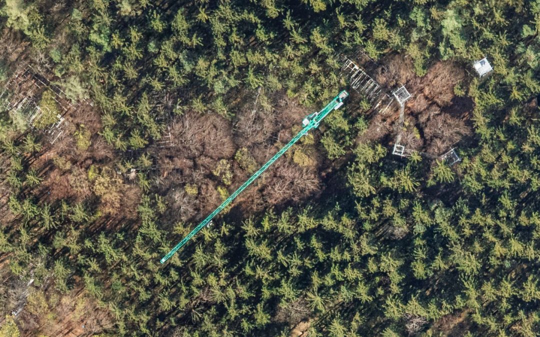
Multi-Seasonal Aerial Photogrammetric Mapping of Tree Species Composition
Multi-Seasonal Aerial Photogrammetric Mapping of Tree Species Composition For the Technical University of Munich, we conducted a detailed study in a Bavarian forest near Freising, using six ultralight flights equipped with our self-enigneered multi-camera ...