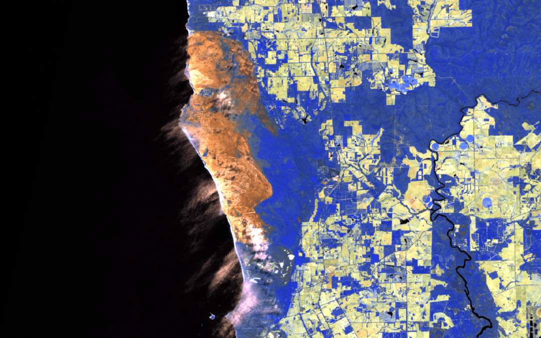
BlazeMap™: Tracking Western Australia’s Wildfires
BlazeMap™: Tracking Western Australia's Wildfires Our portfolio includes a large-scale analysis of the extended fire season in Western Australia, particularly around Perth and Margaret River. This project utilized the EDEO BlazeMap™ to assess the extent of forest...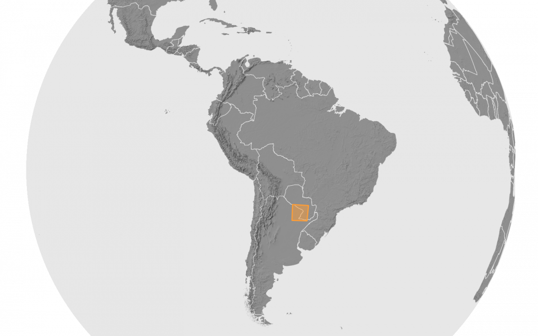
Wildfire Analysis in Argentina’s Corrientes and Iberá
Wildfire Analysis in Argentina's Corrientes and Iberá In an analytical project on South American wildfires in early 2022, we focused on the intense fire activity in Argentina's Corrientes province and Iberá National Park. Using the EDEO BlazeMap pipeline, we employed...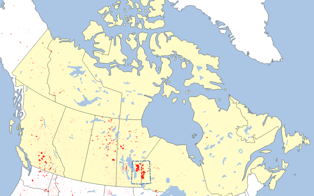
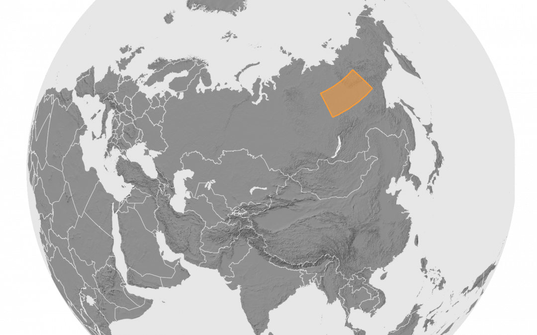
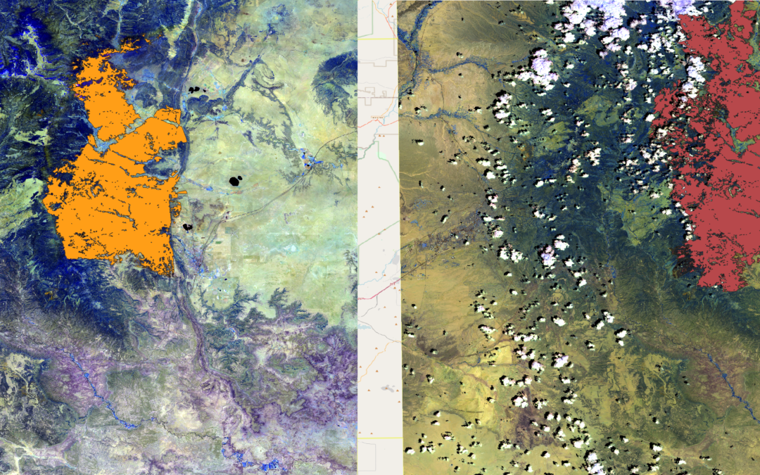
High-Accuracy Wildfire Mapping in Canada
Canada Wildfire Mapping In our portfolio, we feature an impactful project where we mapped the wildfire-burned areas east of Lake Winnipeg in Canada. This extensive study covered over one million hectares and highlighted the plight of local First Nations communities...